Upcoming Events
Thursday, February 12th, 2026 - Vancouver Chapter Inaugural Event
We’re kicking off the Vancouver chapter with a talk and mixer event!
Join us for an afternoon of conversation, idea-sharing, and networking with folks who are passionate about conservation and spatial thinking. We’re excited to welcome guest speaker Pano Skrivanos, founder of Overstory Mapping & Research, who will share insights on the current landscape of conservation GIS including its strengths, limitations, and where the field is headed.
We’ll also be hosting a collaborative brainstorming session focused on what you want to see: What skills do you want to learn? Who do you want to hear from? What conversations should this chapter be leading?
This event is free open to conservation GIS enthusiasts from all sectors and experience levels.
Chapter Discussion & Guest Speaker
3:30–4:30 PM
UBC GSS Loft, 6133 University Blvd
Social Mixer
4:30–6:00 PM
Koerner’s Pub, 1758 West Mall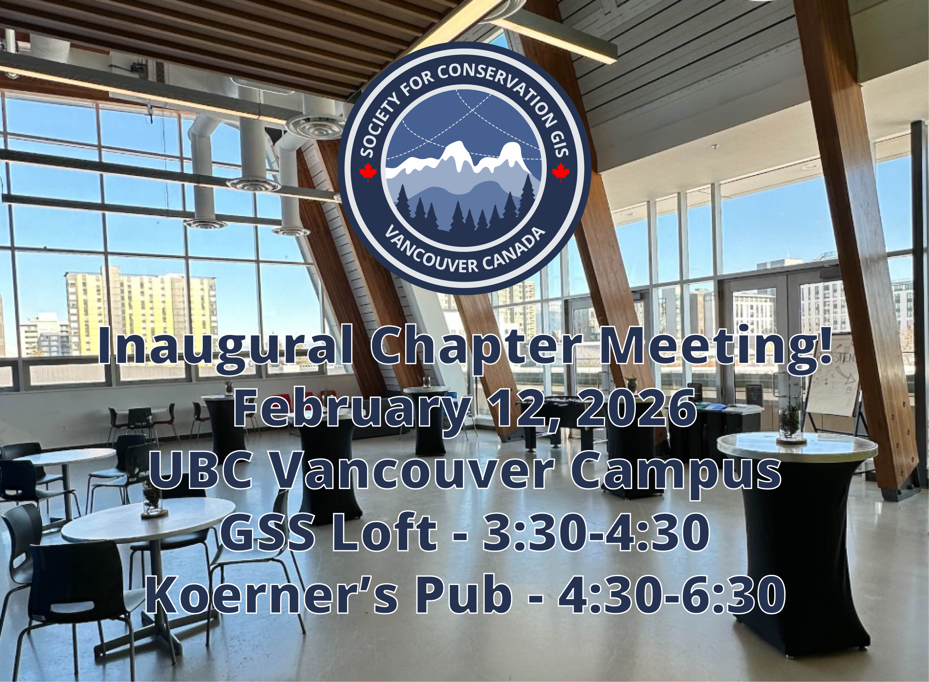
April, 2026 - SCGIS Vancouver Workshop
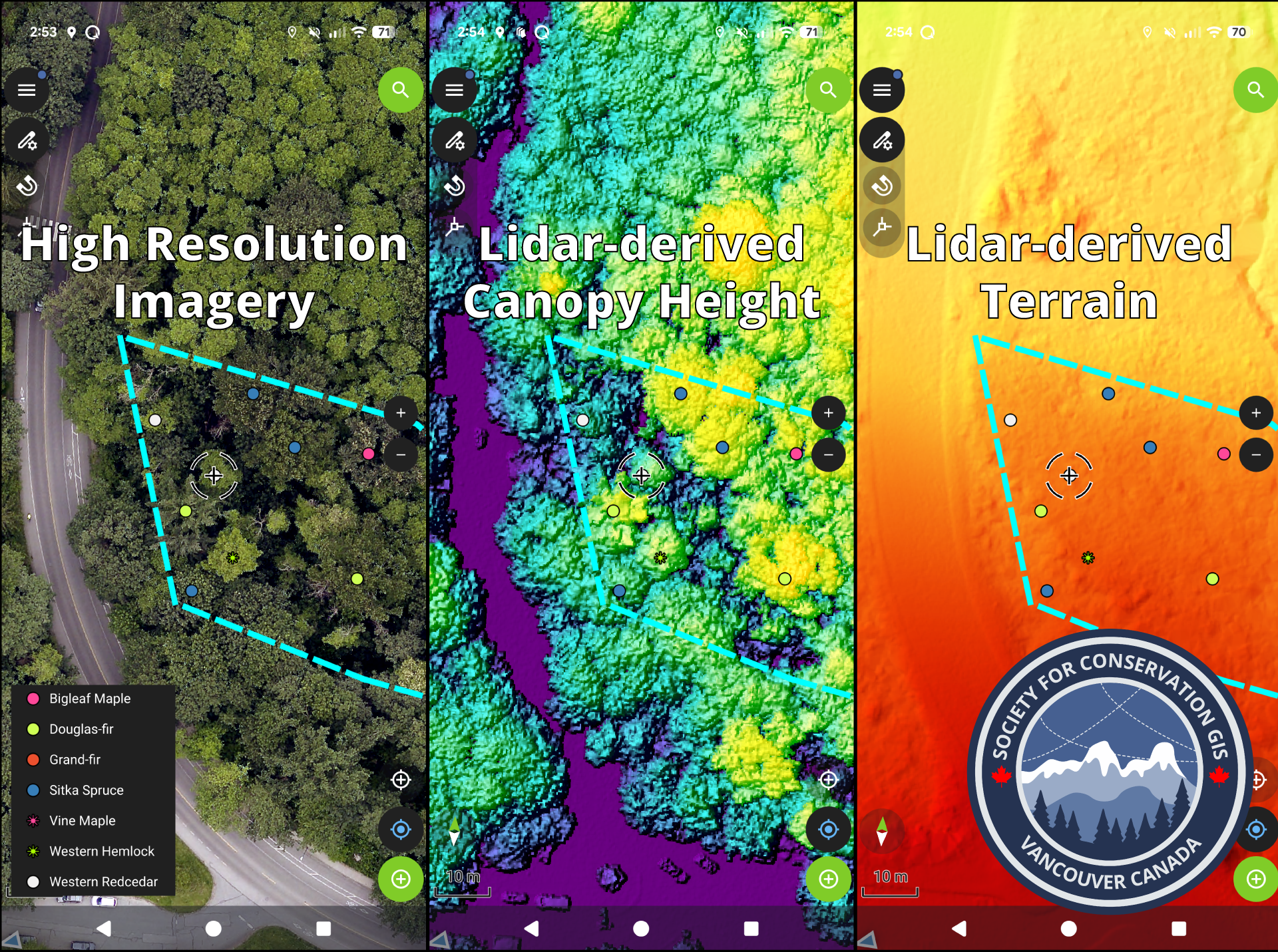
We are currently planning workshop hosted by SCGIS Vancouver. In this workshop we will generate and gather spatial layers from local open data portals and set them up into a cloud ready map database powered by open source QGIS and QField[Cloud] in a conservation setting, with a case study in a local Vancouver park!These maps can be synced between field users on mobile (collecting the data) and desktop to provide real time updates on both ends.
Exact date and details to follow!
July 7-10, 2026 – SCGIS Annual Conference
Estes Park Center, Rocky Mountain National Park, CO, USA

Stay tuned for more information!
https://www.scgis.org/conference